Geophysical surveys
By using geophysical methods of investigation, we can investigate archaeological sites without resorting to physical intervention.
Contact us
Archaeological registrations in cultivated land are currently carried out mainly by mechanical excavation.
Geophysical surveys is a method that is effective in finding particular types of cultural heritage and archaeology, such as settlements and overgrown burial mounds.
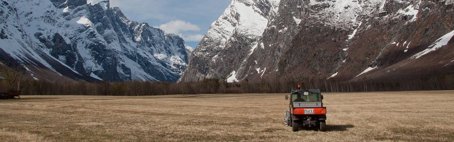
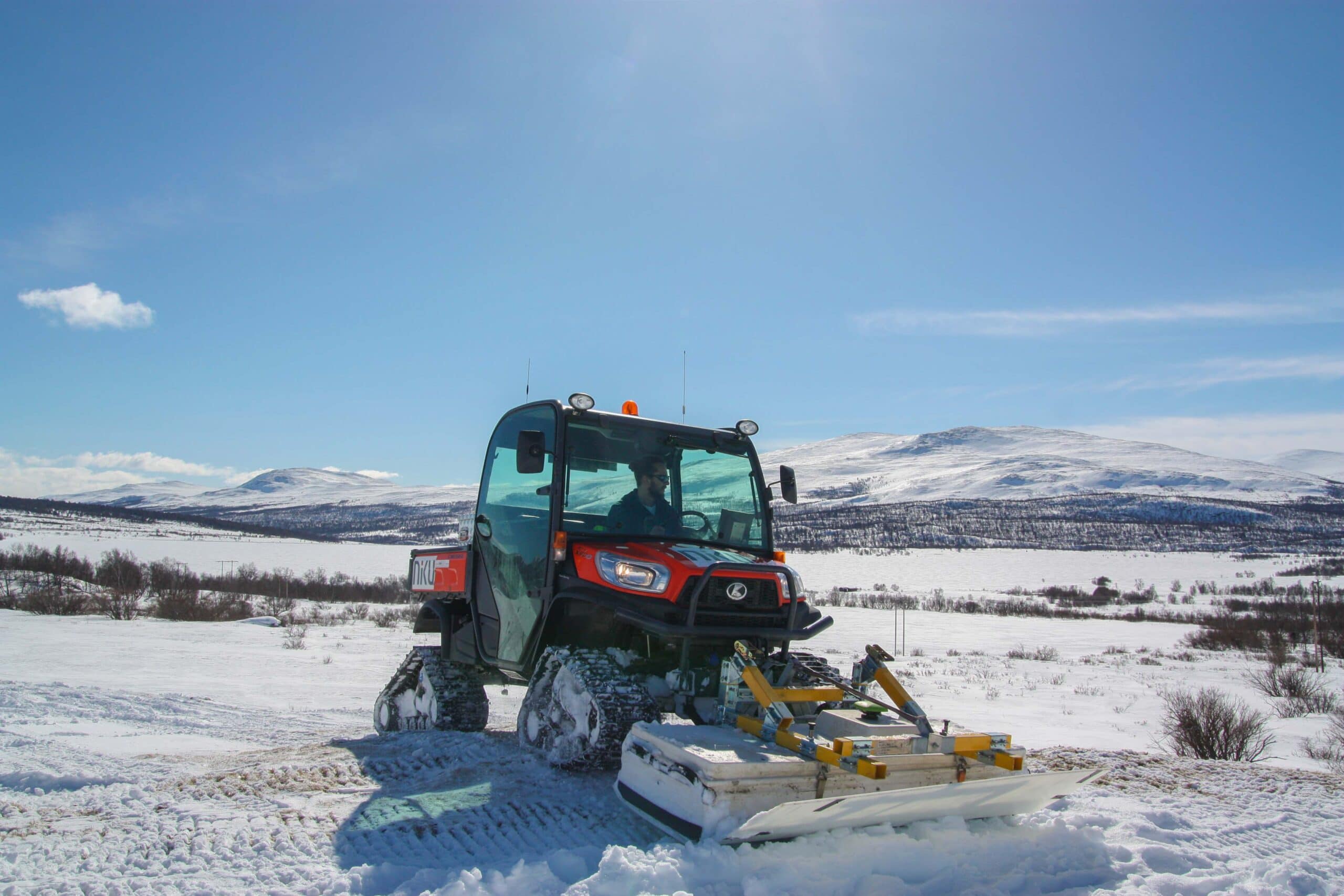
In our projects we mainly use georadar, but we can also combine these surveys with, for example, magnetometer surveys and laser scanning.
Geophysical surveys and the terrain
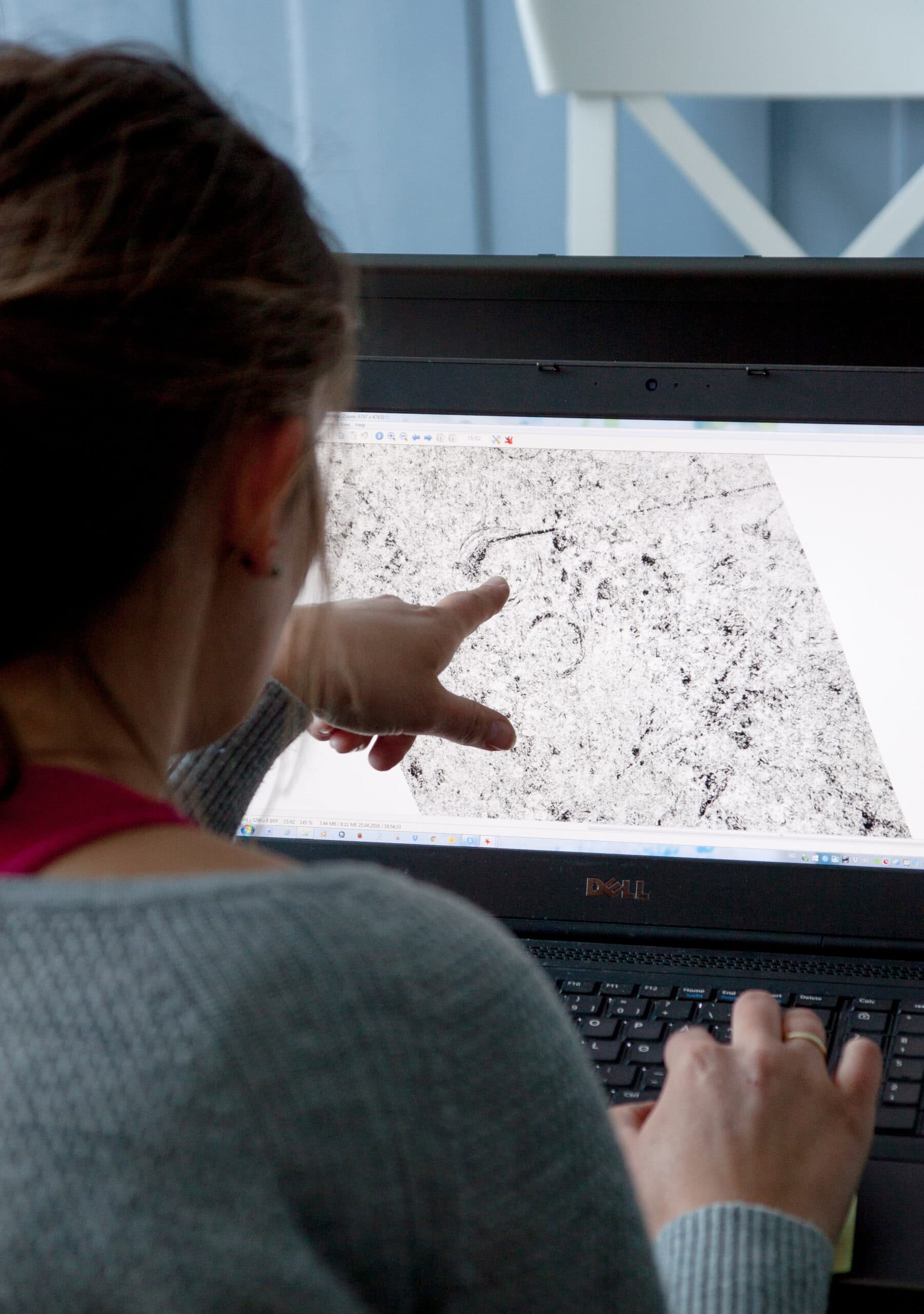
In this way we can map both the terrain and the archaeological structures below the ground surface.
The results of the various survey methods can be gathered in a geographic information system and visualized together with other information.
The benefits of these types of surveys are many:
- The methods are intervention-free. While traditional archeology is devastating by removing soil and culture layers, geophysics can map a site without the need for direct intervention on the ground.
- The methods are cost-effective. One can investigate large areas in a relatively short period of time.
Areas that can not be digged, such as cemeteries, can be mapped. - By exploring a large area, we can put the archaeological sites into a larger context.
- The methods do not necessarily replace traditional burial archaeology, but are a valuable additional tool for performing archaeological records efficiently and with good academic results.
- Although the technology used in these instruments in itself is not new, the methods in recent years have seen a significant development.
- Where one or two individual instruments have previously been used, a number of instruments are now mounted on wide rails that are pulled or pushed by a minitractor or ATV, which makes it possible to cover large areas in a relatively short period of time.
Unknown heritage sites
The methods can thus show whether the ground conceals residues for unknown settlements, graves or old roads, but also modern times in the ground will appear as drainage ditches and overload roads.