Using GPR to Shed Light on State Formation, National Unification and Religious Change in Norway
Last autumn, archaeologists using ground-penetrating radar (GPR) discovered traces of previously unknown graves and settlement activity at several locations along Trondheim Fjord. They hope that these discoveries can shed light on state formation, national unification and religious change in Norway a thousand years ago.
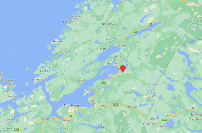
Three areas were selected for GPR surveys in the autumn of 2022: Storfosna in Ørland municipality, Vinne in Verdal municipality, and Vinnan-Auran in Stjørdal municipality. A total of 35 hectares were investigated using motorized GPR over a period of two weeks.
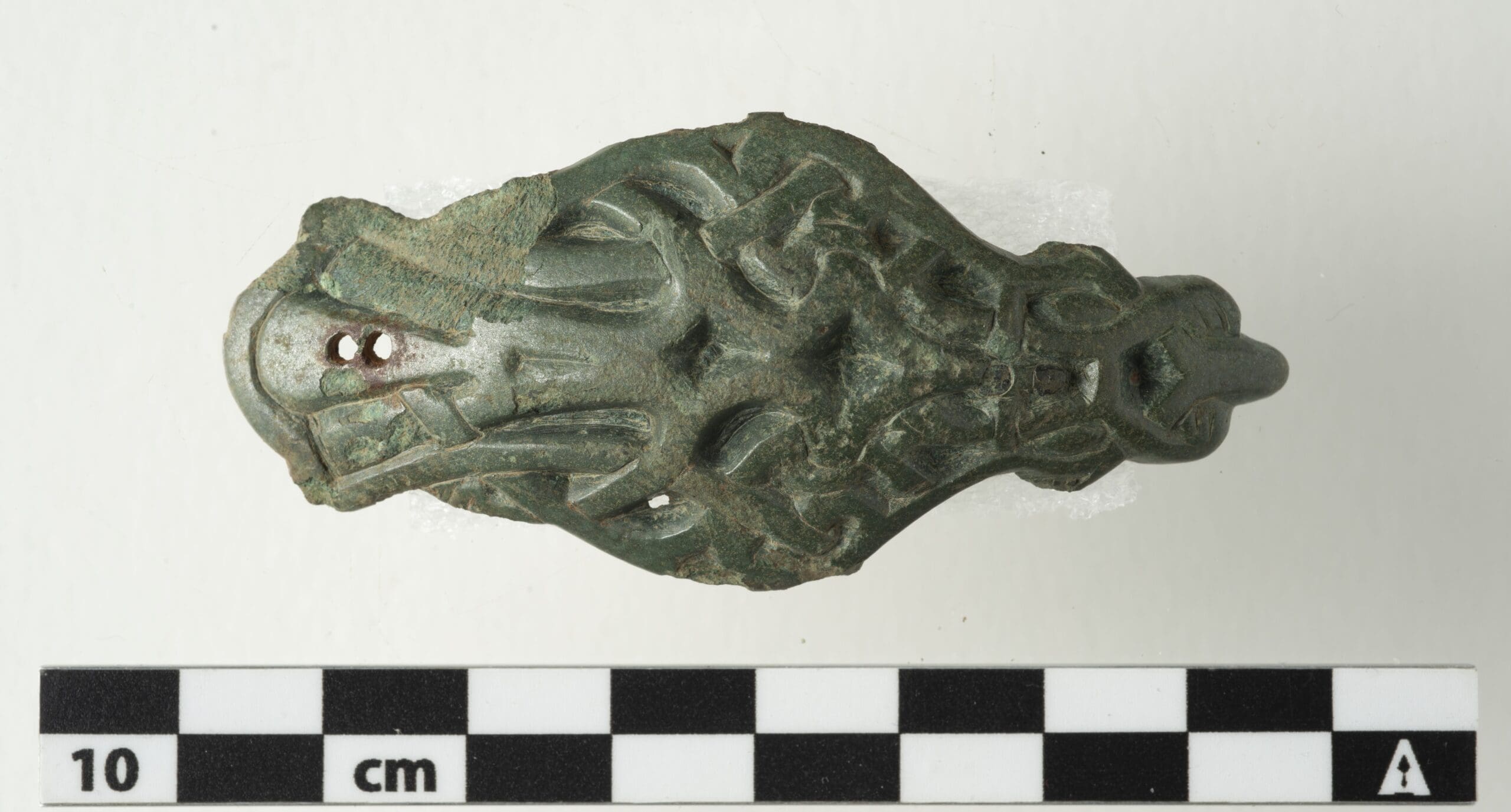
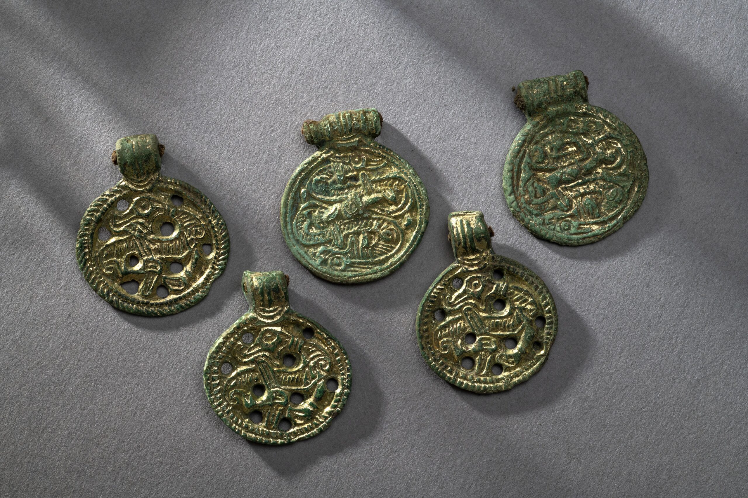
Several interesting discoveries have previously been made here using metal detector and aerial photography, which point to the presence of sizable farms in the area during the Late Iron Age.
These findings suggest that the use of GPR could uncover further traces of ploughed-out houses, burial mounds and other structures invisible to the naked eye. Even so, the archaeologists were surprised by the quality of their results.
For a number of years, NIKU has worked with the implementation of archaeological geophysics in Norway and the Nordic region. This work has been led by Dr. Knut Paasche in NIKU’s Department of Digital Archaeology.
The radar has been developed by Guideline Geo, and the technology surrounding the radar itself and the software has been developed in collaboration with several international partners organized in the Ludwig Boltzmann Institute for Archaeological Prospection and Virtual Archeology (LBI ArchPro).
Discovery of Previously Unknown Houses and Graves
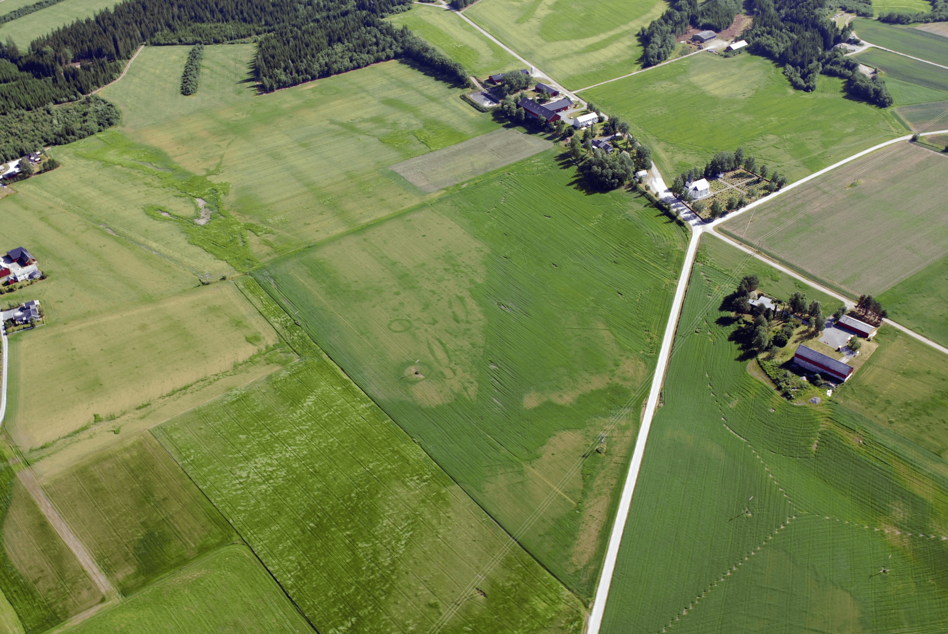
Drone- and aerial photography revealed the great potential lying within the cultivated fields at Vinne in Verdal. The GPR survey showed the presence of several previously unknown burial mounds which were round, oval and star-shaped in plan.
The large number of graves indicates a substantial burial ground in the vicinity. In addition, several longhouses from the Iron Age period were found which can probably be linked to this burial ground.
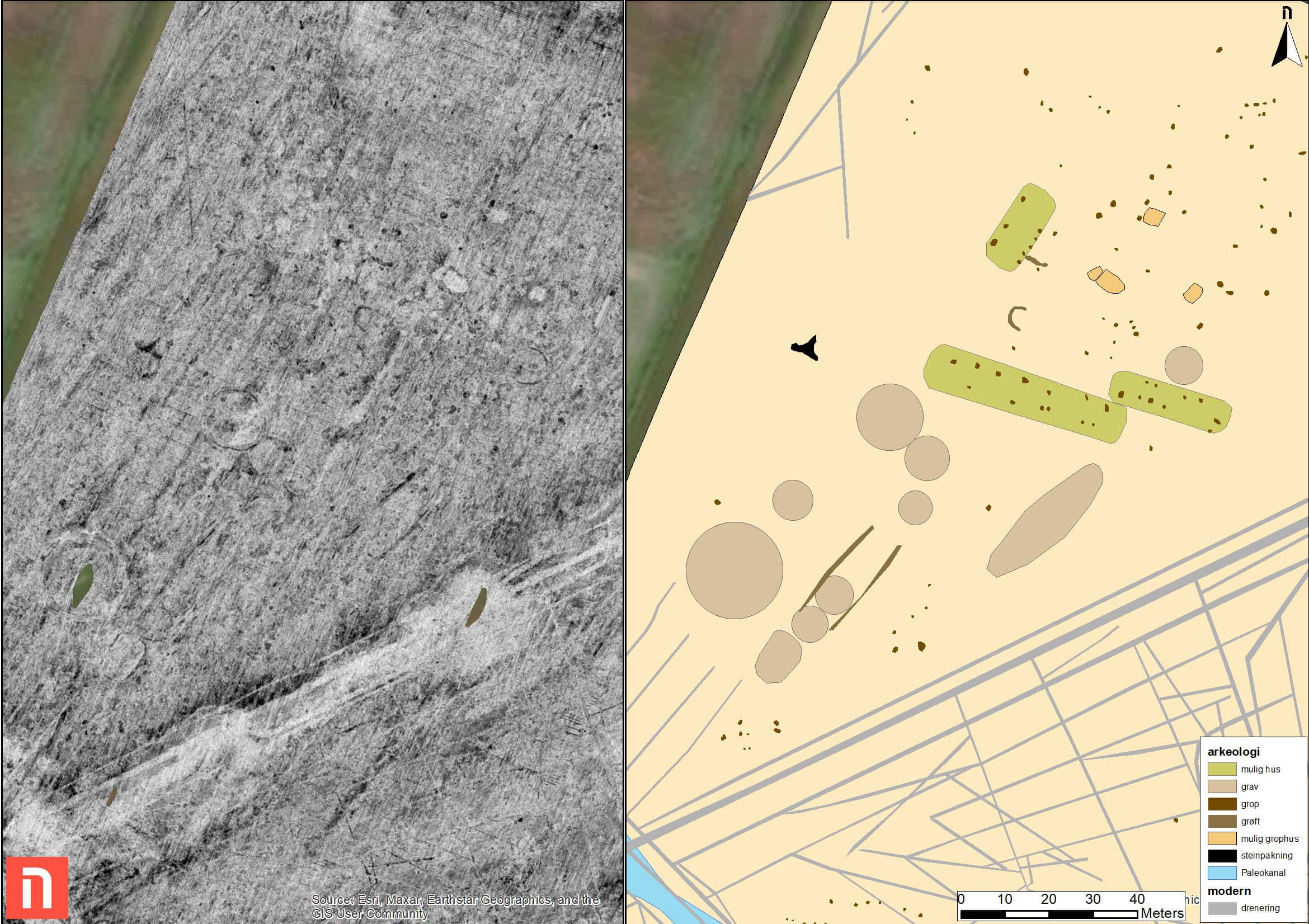
In total, 31 graves were registered, of which 8 were star shaped. A series of indentations reflecting the impressions left by stones were also found. They appear to form the outline of a boat which could suggest the presence of a possible 48×17 m stone “ship”.
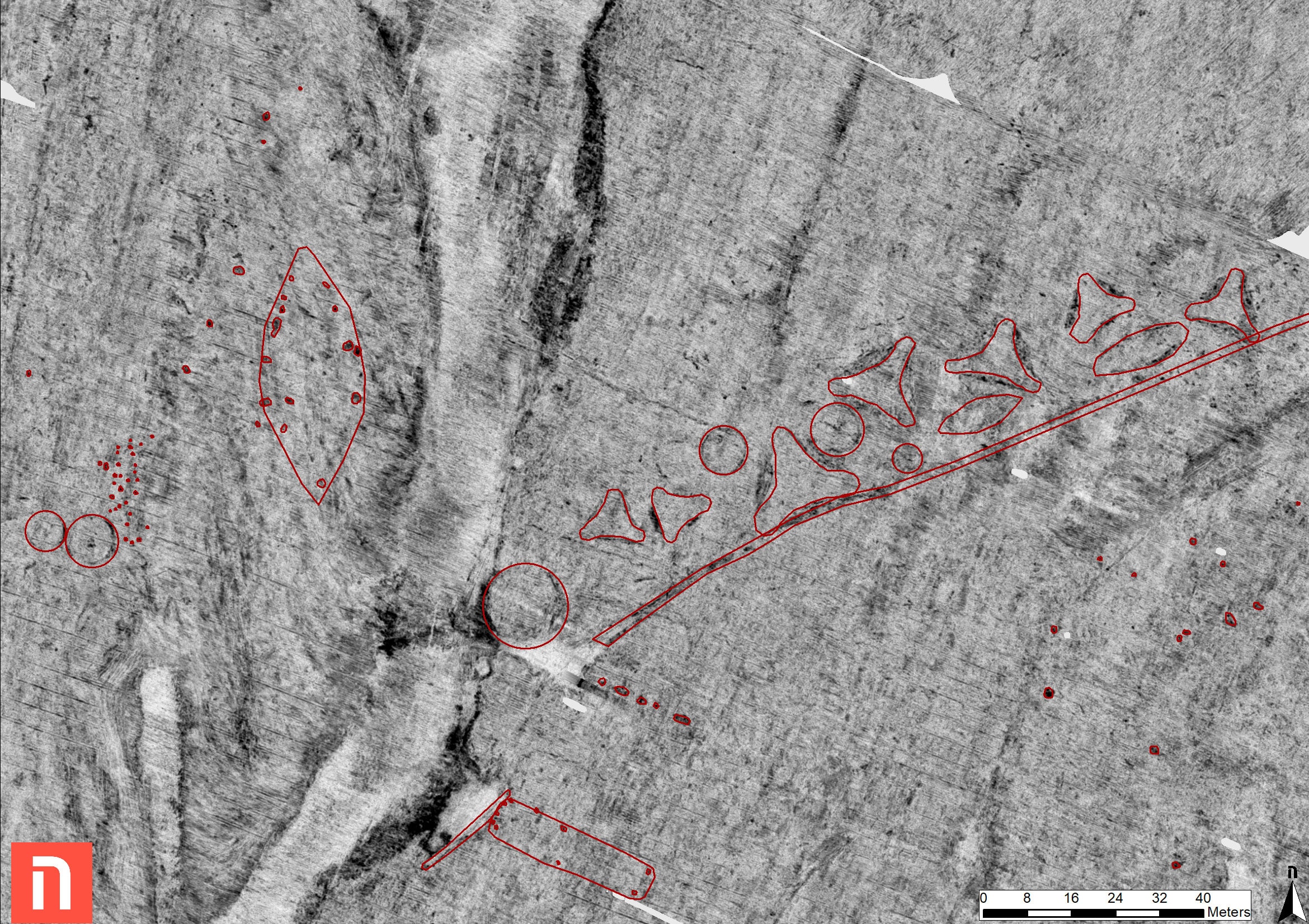
Thanks to these new explorations, we now know that Vinne must have been an extensive farm complex, with several houses, a large burial ground, and hollow ways.
That insight, and this type of research in general, gives us a brand new comprehensive framework for interpreting the evolution of the Iron Age farm, as well as the broader changes observed in the Late Iron Age and early Middle Ages.
Archaeologists Can “See” Under Ground
– Much of the existing knowledge about the sites has come from analyses of loose finds, metal detector surveys, drones, aerial photography and LIDAR data.
– With geophysical surveys, we get an unique opportunity to “see underground” without needing to use a shovel, says archaeologist and GPR expert Manuel Gabler of NIKU.
– We also discover a wide range of sites and monuments that enriches our understanding of society in the Late Iron Age. We also hope to encounter evidence for trade and craft activities, he says.
Geophysical methods, in combination with aerial photography, LIDAR and loose find analyses, provide a good indication of what lies beneath the ground.
Efficient Use of a Non-Destructive Method
– These are so-called “non-intrusive” methods, i.e., methods that do not directly interfere with the subsoil, Gabler explains.
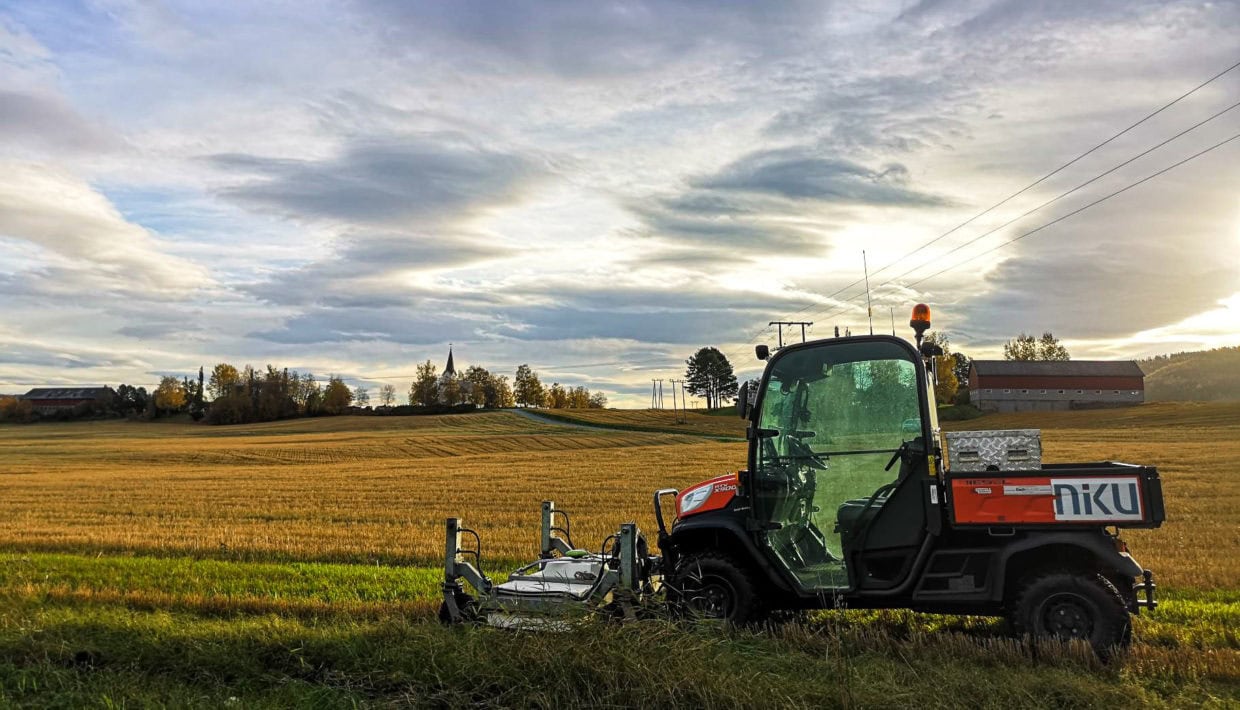
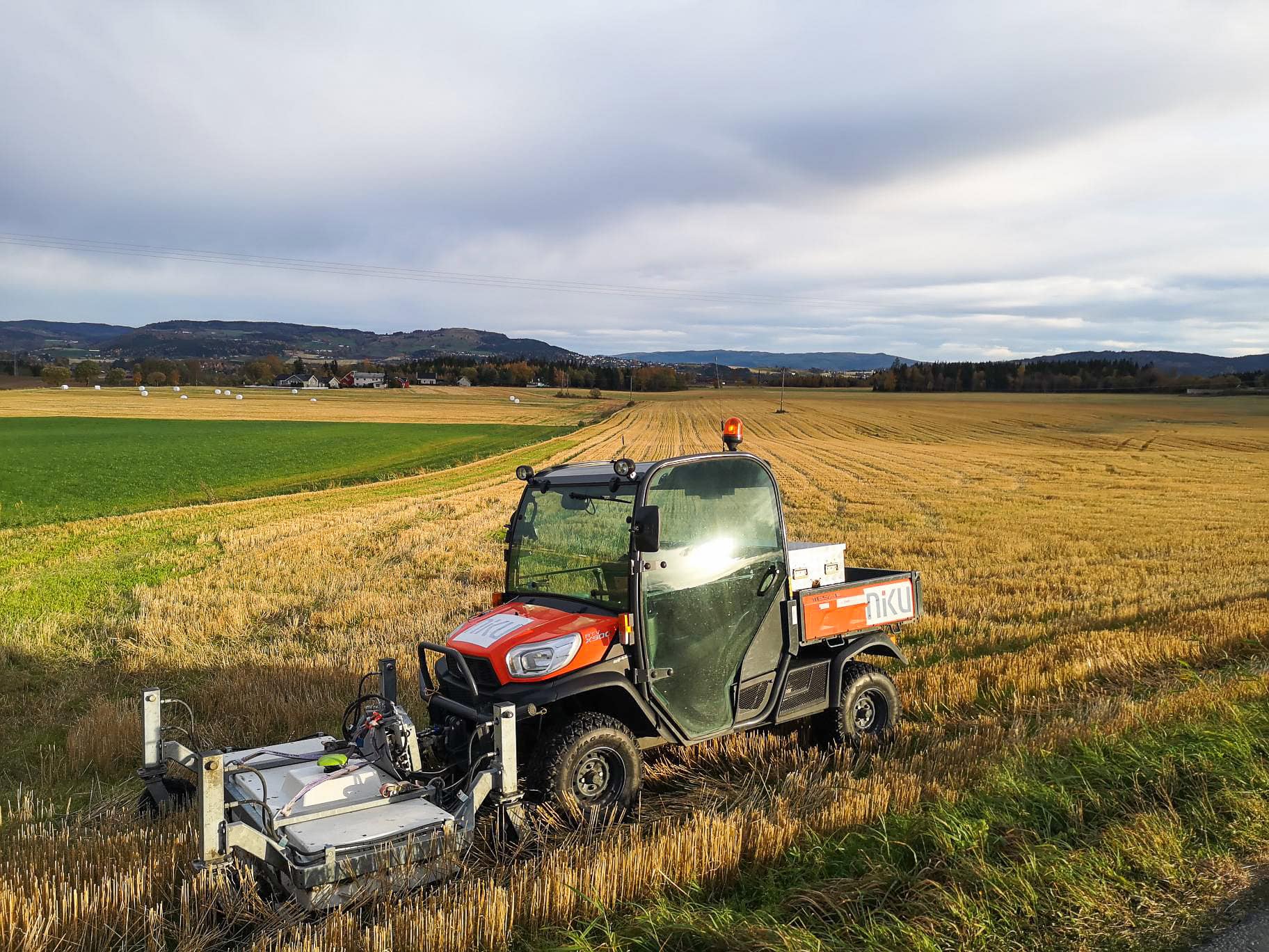
Geophysical surveys constitute one of several novel technological methods that are now increasingly being used by archaeologists around the country. In this case, it involves attaching a GPS controlled radar to a four-wheel drive, which can cover 3-4 hectares per day.
– Using software able to process large amounts of data in a short time means we have the results in just a few days, says Gabler.
– The surveys in Trøndelag county last autumn showcase the tremendous potential geophysical methods represent for archaeological exploration of large areas. It will by no means replace traditional digs, but it’s a great supplement, especially for archaeological registration.
– We may also go in and examine some of the finds in more detail, in order to get a better understanding of what the data shows us, he concludes.
Exciting Research Project
The surveys carried out so far are the start of what archaeologists hope will turn into a larger research project.
The project “Farmers on Land – Vikings at Sea” is a collaboration between the NTNU University Museum, Museums Arven, Trøndelag County Municipality and the Norwegian Institute for Cultural Heritage Research (NIKU).
– In this project, we will study the social development and events that led up to the Battle of Stiklestad, says project manager and archaeologist Geir Grønnesby of the NTNU University Museum.
The major historical changes in the Late Iron Age/Viking Age, primarily in Nordmøre and Trøndelag, will be the central topic.
The GPR surveys show there is new insight and knowledge to be gained about society in the Late Iron Age.
– The farm was at the centre of events in the Late Iron Age. Thus, the farm itself and its complex structures serve as the starting point for any discussion around the extensive upheavals that took place in the Viking Age and the early Middle Ages, says Grønnesby.
Archaeologists are constantly making methodological progress, and it won’t be long until they really can “see underground”.